 This morning, the group decided to head up Pike’s Peak. We left camp just before 8AM and upon arrival at the toll gate at the bottom of Pikes Peak Highway, we were disappointed to hear that only the first 13 of the 19 miles were open, due to “fog”. However, we were told it could burn off, and the admission was only half price.
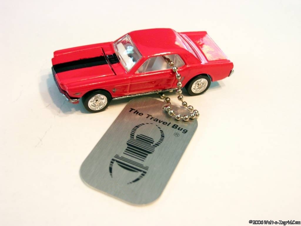
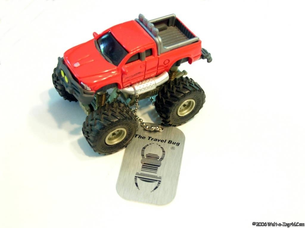
 It was decided go up anyway though I stated to the group, I didn’t want to go if I couldn’t go all the way to the top. About half way up, we killed some time in the Crystal Reservoir gift shop (10:51:15 AM – 9282 ft – N38 55.288 W105 01.545). While there, we picked up “Dodger”the new DTW – CT Chapter mascot. Dodger is actually a big horn sheep but he thinks he’s a Ram so we just humor him.
 By the time we reached the Glen Clove Gift Shop (11:47:51 AM – 11446 ft – N38 52.525 W105 04.433), the closed section, which started there, had been opened up again. We could now drive all the way to the top. From there on up, there were still sections obscured by clouds, and the entire summit was covered in clouds, so unfortunately there was absolutely no view from the top. However, we did see some spots with very nice views on the way up and back down.
 While at the summit, Ingrid and I captured a photo of ourselves near one of the monuments so we can log the “Pike Never Made It!” Virtual Geocache. Another one down on our list of caches on this trip.

On the way back down, I mounted a “Sticky Pod” with my mini-DV camcorder on the roof of the truck to record the decent. I’ll post the video to the web-page later when I have time to capture and encode it.
Anyhow, just before reaching the Glen Clove Gift Shop, Don reported that he had a loud clunking noise in is front end so we stopped in the lot of the gift shop to check it out. After some investigation and much debate, it appeared that the shop that did his front end alignment last month, didn’t properly torque the bolts to the upper control arms and the passenger’s side had loosened up. We tightened them up the best we could despite not having the correct metric socket and continued down the mountain from there. The stop half way down actually worked in our favor as I needed to change the tape in the camcorder, which ran out just as we entered the lot.
More Photos are in our Pikes Peak Gallery.


Above is a screenshot of my Autotap OBDII scantool, captured while in the parking area at summit of Pikes Peak. Note the barometric pressure gauge (right & center) only reads 20 in.Hg. pressure. No wonder the truck felt so anemic while in CO. Normally that reads about 29-30 in.Hg. at home, but while in CO, it never read above 24 in.Hg.


